 Visit Tokyo Guide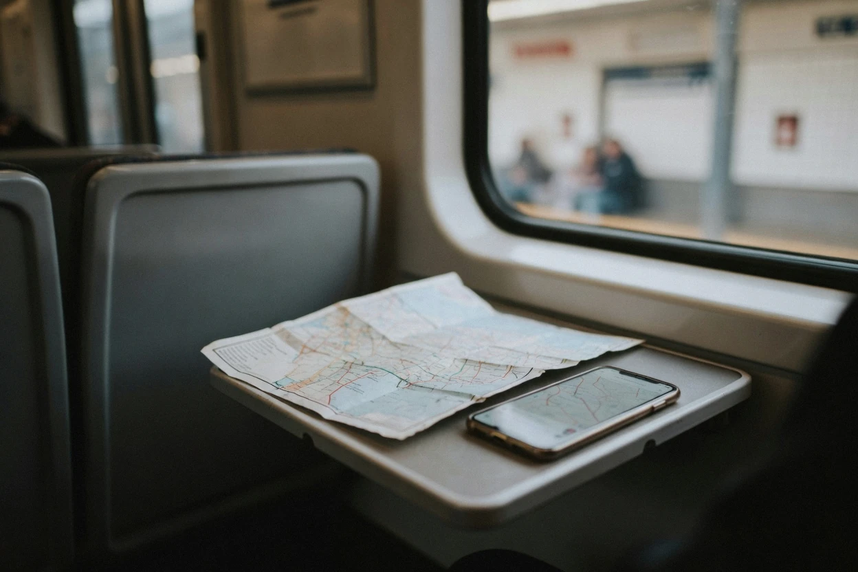
Tokyo Map: Every Place This Guide Covers, On One Screen
This Tokyo map puts sixty numbered pins on one screen: every ticketed sight with the official adult price, the free ones, the shrines, the markets, the seven areas this guide covers in depth, and the stations and airports you will actually arrive through. Filter by category, tap a pin for the price and the page that explains it, or open any point in Google Maps and walk there. What a pin cannot show is how the city is arranged, so the sections below cover the loop line that everything hangs off, the walks that are longer than they look, the station codes that make navigation possible, and why a Tokyo address will not lead you to a door. The wider planning picture is on the homepage covering things to do in Tokyo and in the planning hub.
Quick answer What is on the map, and how to use it, in four lines
Sixty pins in six colours, every one of them a place this guide has written a page about: sights and views, temples and shrines, museums and digital art, food and markets, the seven area guides, and the stations and airports. The numbers run straight through the whole list rather than restarting inside each colour, so pin 29 stays pin 29 whichever filter is switched on and the gaps in a filtered list are honest.
Key takeaways
- Every pin links to the page that explains it, and each ticketed pin shows the official adult fare rather than a reseller's, so the tickets index is where the actual comparison happens.
- Tap the Google Maps icon on any pin to navigate from your own phone. A downloaded offline area keeps the map and loses walking and transit directions, which is the trap nobody warns you about on a day with no data.
- Twenty-two pins carry no admission at all, which is why the free sights are worth reading before anything gets booked.
- If orientation rather than tickets is the problem, a half-day guided loop covers three or four of these pins with somebody who already knows which exit to use.
The Map
Numbered pins, filterable by category. The list below the map is the same sixty places in text, grouped the same way and numbered the same way, and every entry links to its own page on this site and to Google Maps for directions. The default view is drawn to fit every pin, so the centre reads as a cluster: filter to a single colour and the map zooms to that colour alone.
Sights & views 16 pins
- Tokyo SkytreeFrom $11.66 (¥1,800)Tembo Deck; the Galleria above it is a second, higher ticket
- Shibuya SkyFrom $17.50 (¥2,700) onlineTimed entry, and the open rooftop closes in bad weather
- Tokyo TowerMain Deck $9.72 (¥1,500)Open late, and the one big deck that needs no slot
- Tokyo Metropolitan Government BuildingFreeTwo free observatories, each with its own closed day
- Shibuya Scramble CrossingFreeThe Hachiko statue and meeting point are on the near side
- Imperial Palace East Gardens, Ote-monFreeMain public gate; a token is handed out on the way in
- Nijubashi viewpoint, Kokyo GaienFreeThe stone bridge view, outside the gardens and open at all hours
- Shinjuku Gyoen$3.24 (¥500)Closed Mondays, and the closing hour moves with the season
- Ueno ParkFreeThe park costs nothing; the museums inside it each cost something
- Ryogoku KokugikanChair Seat C from $22.70 (¥3,500)Only on the fifteen days of a Tokyo tournament
- Kabukiza TheatreSingle act from $3.89 (¥600)Fourth-level single-act seats sell on the day at the side door
- Tokyo DisneylandOne-day passport from $57.70 (¥8,900)About five minutes on foot from Maihama Station
- Tokyo DisneySeaOne-day passport from $57.70 (¥8,900)A separate gate and a separate ticket, on the Disney Resort Line
- Rainbow Bridge walkwayFreeA pedestrian deck with seasonal hours, not a road crossing
- Odaiba Seaside ParkFreeThe promenade, the fountains and the view back at the skyline
- Yoyogi ParkFreeOpen at all hours, three minutes from the shrine's south entrance
Temples & shrines 12 pins
- Senso-jiFreeMain Hall from 06:00, and from 06:30 October to March
- Asakusa-jinjaFreeThe shrine beside the temple; office 09:00 to 16:00
- Meiji JinguGrounds free; Inner Garden $3.24 (¥500)Opens at sunrise and closes at sunset, so the hours change monthly
- Ueno ToshoguInner route $4.54 (¥700)Outer grounds free; the gilded gate is behind the paid line
- Nezu-jinjaFreeA torii tunnel and an azalea slope; 06:00 to 17:00
- Kanda MyojinFreeFive minutes uphill from the electronics streets; amulets for devices
- Yasukuni JinjaFreeGrounds 06:00 to 18:00, shorter in winter; the city's official cherry reference tree stands here
- Hie JinjaFreeAn escalator runs up the hill; opening hours not stated
- Zojo-jiFreeGrounds free, 09:00 to 17:00; the tower stands directly behind it
- Tomioka HachimanguFreeThe birthplace of professional sumo, east of the river
- Sengaku-jiFreeGrounds free; the graves of the forty-seven ronin
- Gotoku-jiFreeThe beckoning-cat temple, well west of the loop; 06:00 to 17:00
Museums & digital art 7 pins
- Tokyo National Museum$6.48 (¥1,000)Closed Mondays; one collection ticket covers every building
- teamLab Planets, ToyosuFrom $23.30 (¥3,600)Advance tickets only, nothing sold at the door, and bare feet inside
- teamLab Borderless, Azabudai HillsFrom $23.30 (¥3,600)A different venue and a different ticket from Planets
- Ghibli Museum, Mitaka$6.48 (¥1,000)Date and hour named on the ticket, and one sales channel only
- National Museum of Western ArtPermanent collection $3.24 (¥500)The Le Corbusier building at the park entrance
- National Museum of Nature and ScienceNext door to the national museum, and a separate ticket
- Nezu MuseumEast Asian art and a large garden; closed Mondays
Food & markets 8 pins
- Tsukiji Outer MarketFree to walkRoughly 460 shops, and a morning market rather than an evening one
- Toyosu MarketFreeVisitor passages 05:00 to 17:00; shut Wednesdays and Sundays
- Toyosu Senkyaku BanraiFree to enterThe food street and bathhouse attached to the wholesale market
- Omoide YokochoRoughly sixty counter restaurants beside the west exit
- Golden GaiSix lanes of tiny bars, each posting its own cover charge
- Kappabashi Dougu StreetFree to walk800 metres of kitchen suppliers, over 170 shops
- Hoppy Street, RokkuThe drinking alley off the old theatre block, going from mid-afternoon
- Shibuya Yokocho, MIYASHITA PARKA food alley under a rooftop lawn, open to 05:00
Areas 7 pins
- ShinjukuWest side of the loop: towers, free views and the drinking lanes
- ShibuyaWest side: the crossing, and shopping stacked vertically
- HarajukuOne stop between the two, with the shrine forest across the tracks
- GinzaInside the loop: department stores, galleries and the kabuki theatre
- AkihabaraNorth east of the loop: arcades, electronics and multi-floor shops
- AsakusaEast, off the loop on the Ginza Line: the old town and the temple
- OdaibaIn the bay, reached only by the Yurikamome or the Rinkai Line
Stations & airports 10 pins
- Tokyo StationJR lines, the Marunouchi Line and the airport express platforms
- Shinjuku Station, West ExitJR, Metro, Toei and three private railways under one roof
- Shibuya Station, Hachiko ExitThe loop line, the Ginza Line and the Hanzomon Line
- Ueno StationPark Exit for the museums; Keisei-Ueno next door for the Skyliner
- Shinagawa StationThe Keikyu interchange for the near airport, and an express stop
- Nippori StationSkyliner terminus, with the loop-line transfer across the platform
- Hamamatsucho StationWhere the airport monorail meets the loop line
- Asakusa Station, Toei exit A4Ginza, Toei Asakusa and Tobu lines, five minutes from the temple
- Haneda AirportThe near airport, inside the city, with two railways under the terminals
- Oshiage StationHanzomon, Toei Asakusa and Keisei lines, connected under the tower
Every coordinate on this map is copied from the page on this site that covers that place, and every price is the official adult fare that page states, taken from the venue's own site rather than a reseller. Where a venue publishes no price, the pin shows none. Pins and pages were reconciled; if a pin and a page ever disagree, the page is the source of truth.
The Loop Is The Mental Model For Everything Else
Tokyo has no medieval core to walk out from, which is why a first look at the map reads as a scatter of unrelated names. It is not. Almost everything on this page hangs off one circle of track, and once the circle is in your head the rest of the map organises itself.
The JR Yamanote Line runs a loop around the middle of the city, and the districts a first trip cares about sit either on that loop or one short ride inside it. Shinjuku, Harajuku and Shibuya are strung along its western arc, close enough together that people walk between them without meaning to. Tokyo Station, Ueno and Akihabara sit on the eastern arc.
The Imperial Palace grounds fill the space in the middle, which is the reason no line runs straight across the centre and the reason a cross-city journey usually goes around the ring or under it on a subway.
Seven stations on or beside that loop, with the guide each one opens. The coordinates are the ones our own pages publish, and the notes are what those pages state about each interchange rather than a general impression.
| Station | Where it sits | What it is the door to | Our page |
|---|---|---|---|
| Tokyo Station | East side | The palace gardens, the Marunouchi office grid, and the point every travel time on this site is measured from | Imperial Palace |
| Ueno | Northern corner | The park, the national museum, the zoo and the shrine, plus the Skyliner terminus next door | Ueno Park |
| Akihabara | North east | Electric Town, the arcades and the multi-floor shops, with a shrine five minutes uphill | Akihabara |
| Shinjuku | West side | The tower district, the free observatories, Golden Gai and Omoide Yokocho | Shinjuku |
| Harajuku | West side, one stop north of Shibuya | Meiji Jingu's forest on one side of the tracks, Takeshita Street on the other | Harajuku |
| Shibuya | West side | The crossing, the rooftop deck above it and Center Gai | Shibuya |
| Shinagawa | South | The Keikyu interchange for the near airport, and an airport express stop | Haneda transfers |
Three of the areas pinned on this map are deliberately not on the loop, and that is the most useful single fact about them. Asakusa sits east of the ring, off it on the Ginza Line, which is a large part of why the temple quarter feels like a different city rather than another district of the same one. Odaiba sits out in the bay and is reached only by the Yurikamome or the Rinkai Line, so it is a decision for a half day rather than a detour on the way somewhere. Ginza sits inside the ring, three Metro lines deep, close enough to Tokyo Station to be walked to and far enough from the JR platforms that visitors keep sailing past it.
The practical consequence is worth stating plainly. If a day's pins all sit on the western arc, that day needs almost no planning. If a day mixes the western arc with anything east of the river, it needs a decision about which order to do things in, because the crossing is the expensive part. The area guides go district by district, and the transport page covers which operator's ticket actually pays for the crossing.
East Side, West Side, The River And The Bay
The loop divides the map neatly enough to plan by. West of it and along its western arc is the tall, late, commercial city. East of it, and especially east of the Sumida River, is the older and lower one. In the bay to the south, on land that did not exist a century ago, is a third city again.
The western arc is where the towers and the shopping are, and where the night is. Shinjuku holds the free observatories at the top of the Metropolitan Government Building, the drinking lanes of Golden Gai and Omoide Yokocho, and the busiest station on the map. Shibuya holds the crossing and the rooftop deck that looks down on it.
Harajuku sits between them, with Takeshita Street on one side of the railway and the deep forest of Meiji Jingu on the other, which is the fastest change of scene anywhere in the city. Yoyogi Park adjoins the shrine and is open at all hours. Almost everything in this paragraph is a pin in the first two colours on the map, and all of it is within one arc of one line.
East is the older city, and the Sumida River is the line to think in. Asakusa sits on its west bank around Senso-ji, with the shrine beside the temple, the kitchen-supply street of Kappabashi ten minutes away and the drinking alley off the old theatre block. Cross the river and the Skytree is about 1.3 kilometres away on foot.
North of Asakusa the loop's eastern arc picks up Ueno, where the park stacks four museums, a zoo and a shrine inside a free public garden, and Akihabara a couple of stops south. Ryogoku, with the sumo arena and the sumo museum inside it, sits east of the river as well, and Tomioka Hachimangu, where professional sumo began, is further downstream again. The eastern half of this map is where the free pins cluster, because temples and shrines here do not charge and public parks do not either.
The bay is the third city and the newest one. Toyosu holds the wholesale fish market with its visitor passages and its attached food street, and teamLab Planets one stop away on the Yurikamome. Odaiba is further west along the waterfront, reached by the same elevated line or by the Rinkai Line, with a seaside park, a free pedestrian deck across the Rainbow Bridge and the view back at the skyline that every other pin sits inside. Beyond the bay's eastern edge, over the boundary in Chiba, sit the two Disney parks and Maihama Station. None of that reclaimed land existed as a destination fifty years ago, which is why the digital-art venues and the newest market are all out here rather than in the centre.
West of the loop the city thins but does not stop. The Ghibli Museum stands on the corner of a park in Mitaka, and Gotoku-ji, the beckoning-cat temple, sits in a residential district further south west. Both are genuine outliers on this map and both are reachable in well under an hour, which is the reason they are pinned rather than filed with the out-of-town trips on the day trips hub.
The Walks Visitors Underestimate, And The Ones They Overestimate
Two pins that look adjacent on a map of a city this size can be twenty minutes apart, and two that look far apart can be a five-minute stroll through a concourse. The table below collects the walking figures our own pages state, so that a route can be planned from published numbers rather than from how the pins look at a given zoom level.
Ten walks between pins on this map, with the time the relevant page on this site states for each. Each figure comes from the venue's own directions or from the distance the page records, and each row names the page it came from.
| The walk | On foot | The page that states it |
|---|---|---|
| Senso-ji to the Skytree, along the river | About 1.3 km, roughly 20 minutes | Senso-ji |
| Shibuya Crossing to Meiji Jingu | About 20 minutes, or one stop on the loop | Meiji Jingu |
| Harajuku to Shibuya along Cat Street | About 20 minutes | Harajuku |
| Shinjuku Station west gate to the Metropolitan Government Building | About 10 minutes, mostly under cover | TMG observatories |
| The Metropolitan Government Building to Shinjuku Gyoen | About 25 minutes | TMG observatories |
| Ueno Station Park Exit to the Tokyo National Museum | About 10 minutes | Tokyo National Museum |
| Tsukiji Outer Market to Ginza, up Harumi-dori | About 10 minutes | Tsukiji Outer Market |
| teamLab Borderless to Tokyo Tower | About 15 minutes, downhill and south | teamLab Borderless |
| Ryogoku Kokugikan to the Skytree | About 25 minutes, or two stops and a walk | Sumo tournament |
| Mitaka Station south exit to the Ghibli Museum | About 15 minutes, or a shuttle every 15 minutes | Ghibli Museum |
Three patterns fall out of that list. The first is that the western arc is genuinely walkable end to end: Harajuku to Shibuya, Shibuya to the shrine, the shrine back to Harajuku, all of it about twenty minutes a leg, which means a full afternoon there can be planned with no train at all. The second is that the Asakusa and Skytree pair is the walk people most often skip and most often regret skipping, because the river path is the view. The third is that the walk nobody plans for is the one inside the station. Shinjuku is the busiest station on this map, and ten of the twenty-five minutes between the Metropolitan Government Building and Shinjuku Gyoen are spent getting out of the concourse.
The practical rule this produces: budget ten minutes to leave any large station, and treat any pin more than about a kilometre from your last one as a train ride rather than a walk unless the walk itself is the point. The exception is the river, where the walk is always the point.
Station Codes And Exit Letters, The System That Makes This City Navigable
The single most useful thing a visitor can learn about the Tokyo network is that every subway station carries a code as well as a name, and that the code is printed on every sign, every map and every platform. It removes the need to read any Japanese at all.
Tokyo Metro sets out the system on its own subway-map page: a station code is a letter standing for the line plus a number standing for the station, printed inside a circle in that line's own colour. The operator lists three reasons to use it, and all three are the reasons a visitor needs. You can identify the station on the line you want rather than guessing between similarly named ones. You can count the stops to your transfer, because the numbers run in order. And you can confirm you are on a train going the right way, because the numbers should be rising or falling in the direction you expect. Metro names nine lines on that page: Ginza, Marunouchi, Hibiya, Tozai, Chiyoda, Yurakucho, Fukutoshin, Hanzomon and Namboku.
Those nine are not the whole subway. Toei, the network run by the metropolitan government rather than by Tokyo Metro, adds four more lines that its own service-status board lists as Asakusa, Mita, Shinjuku and Oedo, plus the Toden streetcar and the Nippori-Toneri Liner. Two operators, thirteen subway lines, one numbering grammar, and separate fares. The transport page is where the fare arithmetic and the transfer discount between them live.
The second half of the system is the exit. Large Tokyo stations have exits lettered and numbered rather than named by compass point, and the difference between two of them can be a ten-minute walk around a block you cannot cross. That is why the pages on this site name exits rather than stations wherever the venue publishes one: the observatory lobby is a minute from Tochomae exit A4, the temple is five minutes from Asakusa's Toei exit A4, Tokyo Tower is five minutes from the Akabanebashi gate at Akabanebashi Station, teamLab Borderless is two minutes from Kamiyacho exit 5, teamLab Planets is a minute from the north exit at Shin-Toyosu, and the palace gardens' main gate is five minutes from Otemachi exit C13a.
Write the exit down with the address. A pin will get you to the right block; only the exit letter gets you out of the right side of the station, and on a wet evening at Shinjuku that is the difference between a five-minute walk and a twenty-minute one.
Why A Tokyo Address Will Not Walk You To The Door
Visitors arrive expecting a street name and a house number and find neither. Japanese addresses describe areas, not streets, and they narrow from large to small in the opposite order to the one most of the world writes in. Once that is understood the numbers stop being random.
Take a real one from a body that publishes its own: the Tokyo Metropolitan Government prints its address at the foot of its website as 2-8-1 Nishi-Shinjuku, Shinjuku-ku, Tokyo, postcode 163-8001. Read it inward. Shinjuku-ku is the ward, one of the twenty-three that make up the central city. Nishi-Shinjuku is the district inside that ward. The 2 is the chome, a numbered sub-district. The 8 is the block within that chome. The 1 is the building on that block. There is no street in the address at all, because the block, not the street, is the unit that gets numbered. That address belongs to the building whose free observatories are pin 4 on the map above.
Once you can read that, every other address on this site decodes the same way. Toyosu Market is 6-6-1 Toyosu, teamLab Planets is 6-1-16 Toyosu on the same reclaimed grid, the sumo arena is 1-3-28 Yokoami, the kabuki theatre is 4-12-15 Ginza, and the Ghibli Museum is 1-1-83 Shimorenjaku out in Mitaka. Ueno Park breaks the pattern with just 5-20 Uenokoen, no chome at all, because a park is not divided into blocks the way a residential district is.
Two further things surprise people. The first is that block numbers are not always sequential in walking order, so counting up a lane can walk you away from a building rather than towards it. The second is that a great deal of Tokyo is upstairs, and the floor is part of the address rather than an afterthought. The MICHELIN Guide's own listings for the restaurants named on the food guide put the floor first for exactly that reason: one is on the fourth floor of a named building in Ginza, another on the first floor above street level in Shinjuku. A shop at street level with no sign visible from the pavement is entirely normal, and the building name does more work than the number.
So the working method is this. Use the pin on the map above, or the Google Maps link inside it, to get to the block. Use the building name and the floor to get to the door. Use the exit letter to get out of the station on the correct side. If you are checking that you have the right district at all, Japan Post's postcode search will take a seven-digit code and give back the district it belongs to, or take a district and give back the code. And if none of that resolves it, the postcode and the building name written on a piece of paper are more use to a passer-by than the romanised address, which almost nobody reads locally. Once the pin and the building name have got you to the door, tokyo tours hand the block-number navigation to someone who walks these streets daily.
Which Map To Carry, And What Still Works With No Signal
The map on this page needs a connection, because it draws its tiles from OpenStreetMap. That is fine in a city with public wifi in the stations, and it is a problem on the walk between them. The comparison below is what each option actually gives you when the data runs out.
Four map options a visitor can hold at once, compared on the one thing that matters on the ground: what survives without a signal. The offline behaviour of Google Maps is quoted from Google's own help page for downloaded areas, and the two PDFs are the free official downloads from the city's tourism body and from Tokyo Metro.
| Map | Cost | Works with no signal | What it is for |
|---|---|---|---|
| This page's map | Free | No, the tiles load from OpenStreetMap | Working out what is near what, and what each place costs, before you leave the wifi |
| Google Maps downloaded area | Free | Partly. The map and driving directions work, but Google states that transit, cycling and walking directions are unavailable offline | Finding a block when the data has gone, which is exactly when walking directions stop working |
| Tokyo Railway and Subway Map, gotokyo.org PDF, 1,343 KB | Free | Yes, once saved to the phone | Every operator's rail network on one sheet, which no app view shows in one piece |
| Tokyo Metro subway map, tokyometro.jp PDF, 1.0 MB | Free | Yes, once saved to the phone | The nine Metro lines with the letter-and-number station codes printed large |
| The wall maps and exit boards in the station | Free | Always | Resolving which of a dozen lettered exits you want, which no downloaded map does |
The gap in that table is the one to plan around. Google's offline mode is the option most visitors assume covers them, and it is the one that quietly removes walking directions, which is the only mode most people use in Tokyo. That is a good reason not to rely on a single map: download the area anyway, but also save the railway PDF, and screenshot the pin and the exit letter for anywhere you have booked a timed ticket, because a timed slot missed for a navigation failure is not refunded.
Connectivity itself is a solved problem here if you set it up before you land. The metropolitan government runs a free public wifi service and states in its own terms of use that no fee is charged for it, and the alternatives, from an eSIM bought before departure to a rented pocket router, are compared on the staying connected page. What none of them fixes is a phone with no battery, and every walking route on this page assumes a working screen.
When Someone Else Should Do The Navigating
Four products that exist to solve the problem this page describes, which is orientation rather than admission: two bus routes that thread several of the pins above into one day, and two guided formats where the value is a person who already knows the exits. Prices are the platform listings in US dollars as they stood in Q3 2026, and each card links to the operator's own page where the live calendar is.
 from $64.93
Tokyo: 3-Hour Bike or E-Bike City Highlights Tour
A three-hour guided cycling loop through central Tokyo's temples, parks and modern districts, riding a road bike or e-bike with an English-speaking local guide, suited to riders comfortable on shared roads.
Check Availability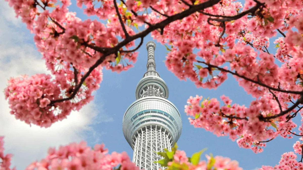 from $123.37
Tokyo: Meiji Shrine, Asakusa, Skytree Bus Tour and Cruise
A full-day coach circuit through Meiji Shrine, Asakusa, Tokyo Skytree and a Tokyo Bay cruise, with skip-the-line Skytree entry, a matcha tasting and an optional Japanese lunch included.
Check Availability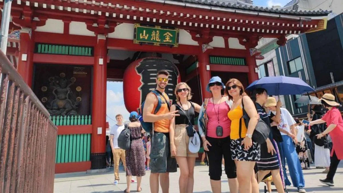 from $58.12
Tokyo: Private Custom Walking Tour with Local Guide
A private, fully customizable walking tour with a local guide who tailors the route to your interests, from landmarks to hidden neighborhoods, suited to families, couples or solo travelers wanting flexibility.
Check Availability from $40.91
Tokyo: Morning Bus Tour Imperial Palace, Asakusa,Tokyo Tower
A half-day hybrid-bus tour of the Imperial Palace's outer grounds, Tokyo Tower's Main Deck and Asakusa's Senso-ji, with an English-speaking guide and Tokyo Tower admission included.
Check AvailabilityPrices, ratings and details are the platform's own. Dollar figures are the listed prices. The platform bills in your account's currency.
Where To Go Next
The three pages that pick up where the map stops, in the order a trip usually needs them.
Things to do in Tokyo
The same places ranked and grouped by the kind of half day each one fills, rather than by where they sit. Read it after the map to turn sixty pins into a shortlist. See the shortlist.
The shortlistGetting around Tokyo
Three operators, two subway companies with separate fare ladders, one IC card that ends the arithmetic, and the pass maths that decides whether a day ticket is worth buying. Read the transport page.
The faresTokyo areas compared
The grey pins in long form: what each of the seven areas is actually for, what it is like after dark, and which of them a short trip can safely skip. Compare the areas.
The seven areasTokyo Map: Questions
Can I use this map without a connection?
No. The tiles come from OpenStreetMap and need data. Download the area in Google Maps before you go, but note that Google's own help page states transit, cycling and walking directions are unavailable offline, so also save one of the free official rail PDFs. The full comparison is in the offline section, and mobile data options are on the staying connected page.
What do the numbers on the pins mean?
They are a single running order through the whole list, not a ranking and not a route. Number 1 is the first pin in the first category and number 60 is the last one in the last. Filtering to one colour keeps the original numbers, so a filtered list shows gaps rather than renumbering itself. The number on the map and the number in the text list below it are always the same pin.
Why are the out-of-town destinations missing?
Because they would stretch the frame until the city itself was unreadable. Mount Fuji, Hakone, Nikko, Kamakura, Enoshima, Yokohama and Mount Takao all sit well outside this view and each has its own page with its own map, indexed on the day trips hub. The far airport is left off for the same reason, since it sits some sixty kilometres east of the frame; the routes in from it are on the Narita transfers page. Haneda is pinned, because it is inside the city.
Why do some pins show no price?
Because the place publishes none. The grey area pins are districts rather than venues. A market street, a drinking alley or a park has no admission to state. And where a museum's fee was not published on the page we read, the pin carries a note instead of a number rather than a figure copied from an aggregator. Anything ticketed shows the official adult fare, and the tickets index compares those against the resellers.
How current are the fares shown on the pins?
Each one is the official adult fare read from the venue's own site on the date printed on that venue's page, and the pin repeats it for convenience. Prices set by date, such as the digital-art venues and the Disney parks, are shown as a from figure because the venue itself publishes a range. If a pin and a page ever disagree, the page is the source of truth.
How far apart are these pins on foot?
It varies more than the map suggests. Along the western arc, most pairs are a fifteen to twenty-five minute walk. Across the river or out to the bay, they are train rides. Ten published walking times between specific pins are tabulated in the walking section, and the rule of thumb that comes out of them is to budget ten minutes just to get out of any large station.
Tokyo's Geography On Video
Three explainers that do in motion what a static map cannot: show how the loop, the wards and the river actually relate to each other.
Tokyo's Map, Explained
The clearest walk through how the city grew around the palace and the loop, which is the mental model this page opens with.
Video: Daniel SteinerMapping Tokyo's Neighborhoods: Get your bearings and learn your way around
District by district, in the same order as the grey area pins on the map above.
Video: Bright TripTokyo Transportation and Geography Explained: Getting In, Around and Out
How the airports, the loop and the subway lines fit together, which is the half of this page the pins cannot show.
Video: REAL JAPAN by YamaTripsVideos load from YouTube only when you press play.
Prices, hours and terms are set by the venue or operator and confirmed at checkout.
We may earn a commission if you book through one of our links, at no extra cost to you. Full affiliate disclosure